Tanzania is one of the poorest countries in the world. European colonialism began in mainland Tanzania during the late 19th century when Germany formed German East Africa, which gave way to British rule following World War I. The mainland was governed as Tanganyika, with the Zanzibar Archipelago remaining a separate colonial jurisdiction. Following their respective independence in 1961 and 1963, the two entities merged in April 1964 to form the United Republic of Tanzania
The African Great Lakes nation of Tanzania dates formally from 1964, when it was formed out of the union of the much larger mainland territory of Tanganyika and the coastal archipelago of Zanzibar. The former was a colony and part of German East Africa from the 1880s to 1919, when, under the League of Nations, it became a British mandate. It served as a military outpost during World War II, providing financial help, munitions, and soldiers. In 1947, Tanganyika became a United Nations Trust Territory under British administration, a status it kept until its independence in 1961. Zanzibar was settled as a trading hub, subsequently controlled by the Portuguese, the Sultanate of Oman, and then as a British protectorate by the end of the nineteenth century.

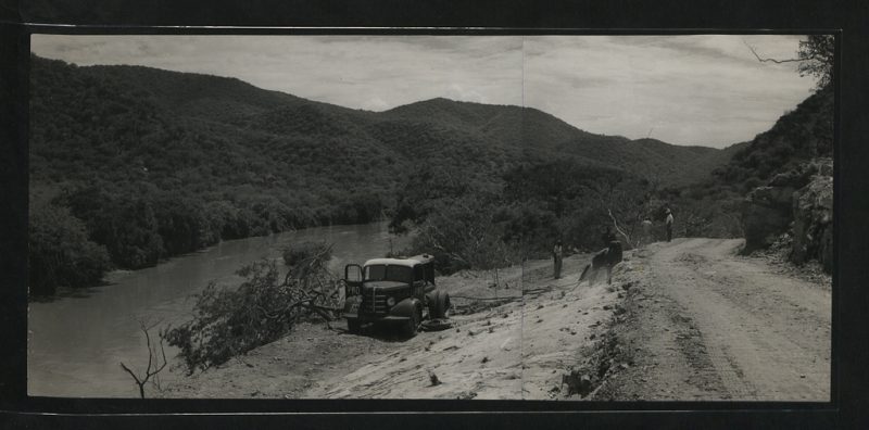
In 1947, Tanganyika became a United Nations trust territory under British control. “It’s geography, topography, climate, geopolitics, patterns of settlement and history made Tanganyika the most significant of all UN Trust Territories.” But two-thirds of the population lived in one-tenth of the territory because of water shortages, soil erosion, unreliable rainfall, tsetse fly infestations, and poor communications and transportation infrastructures.
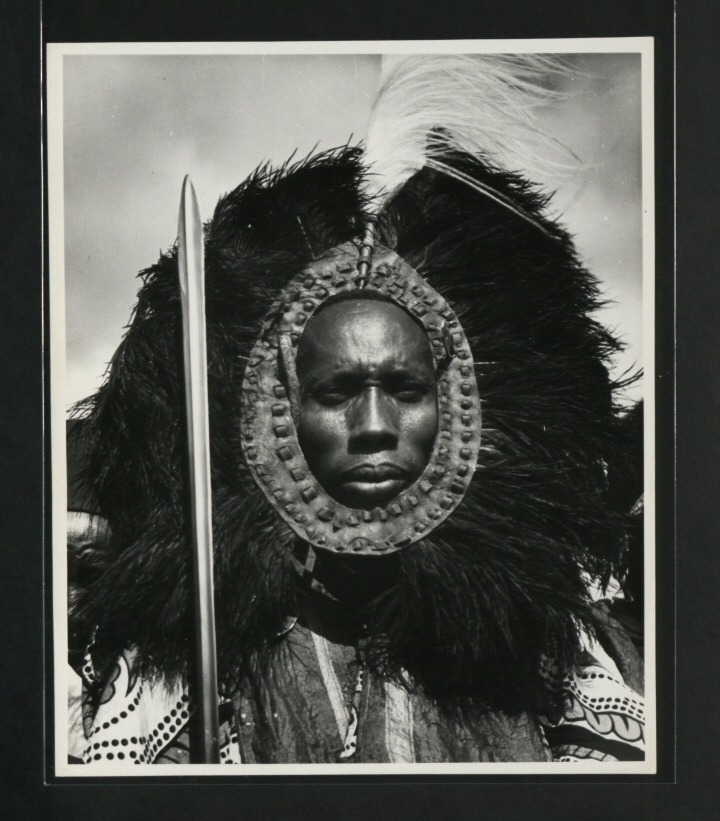
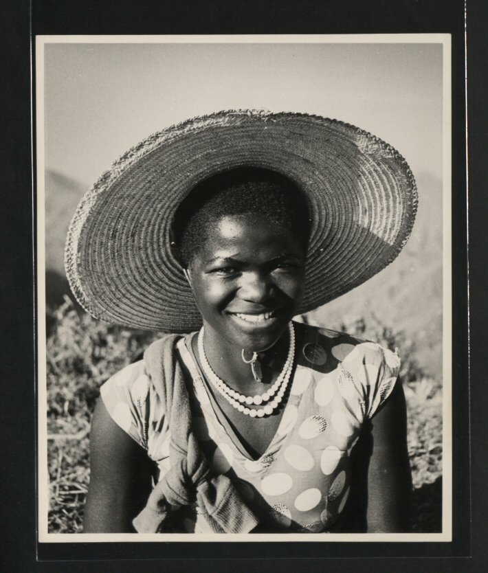
In 1957, only 15 towns had over 5,000 inhabitants, with the capital Dar es Salaam having the nation’s highest population of 128,742. Tanganyika was a multi-racial territory, which made it unique in the trusteeship world.Its total non-African population in 1957 was 123,310 divided as follows: 95,636 Asians and Arabs (subdivided as 65,461 Indians, 6,299 Pakistanis, 4,776 Goans, and 19,100 Arabs), 3,114 Somalis, and 3,782 “coloured” and “other” individuals. The white population, which included the Europeans (British, Italians, Greeks, and Germans) and white South Africans, totalled 20,598 individuals.Tanganyika’s ethnic and economic make-up posed problems for the British.Their policy was geared to ensuring the continuance of the European presence as necessary to support the country’s economy. But the British also had to remain responsive to the political demands of the Africans.