


Yonge Street is a major arterial route connecting the shores of Lake Ontario in Toronto to Lake Simcoe, a gateway to the Upper Great Lakes. Until 1999, the Guinness Book of World Records repeated the popular misconception that it was 1,896 km (1,178 mi) long, and thus the longest street in the world; this was due to a mistaken conflation of Yonge Street with the rest of Ontario’s Highway 11
Yonge Street originates on the northern shore of Toronto Bay at Queens Quay, a four-lane arterial road (speed limit 50 km/h) proceeding north by north-west. Toronto’s Harbourfront is built on landfill extended into the bay, with the former industrial area now converted from port, rail and industrial uses to a dense residential high-rise community. The street passes under the elevated Gardiner Expressway and the congested rail lines of the Toronto viaduct on their approach to Union Station. The road rises slightly near Front Street, marking the pre-landfill shoreline. Here, at the southern edge of the central business district, is the Dominion Public Building, the Sony Centre for the Performing Arts and the Hockey Hall of Fame, the latter housed in an imposing former Bank of Montreal office, once the largest bank branch in Canada. Beyond Front Street the road passes through the east side of the Financial District, within sight of many of Canada’s tallest buildings, fronting an entrance to the Allen Lambert Galleria.
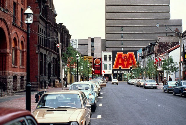
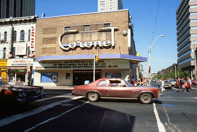
Between Front Street and Queen Street, Yonge Street is bounded by historic and commercial buildings, many serving the large weekday workforce concentrated here. Yonge Street’s entire west side, from Queen Street to Dundas Street, is occupied by theEaton Centre, an indoor mall featuring shops along its Yonge Street frontage and a Sears anchor store at the corner of Dundas Street (currently under renovation because of Sears’ recent downscaling). The east side has two historic performance venues, the Ed Mirvish Theatre (formerly the Canon Theatre and before that, the Pantages) and the Elgin and Winter Garden Theatres. In addition, Massey Hall is located just to the east on Shuter Street.
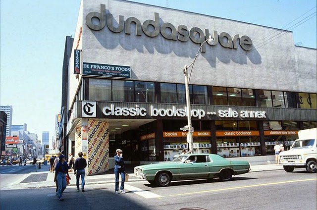
Opposite the Eaton Centre lies Yonge-Dundas Square. The area now comprising the square was cleared of several small commercial buildings and redeveloped in the late 1990s and early 2000s, with large video screens, retail shopping arcades, fountains and seating in a bid to become “Toronto’s Times Square”. It is used for numerous public events.
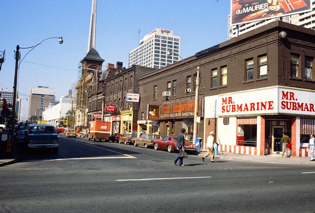
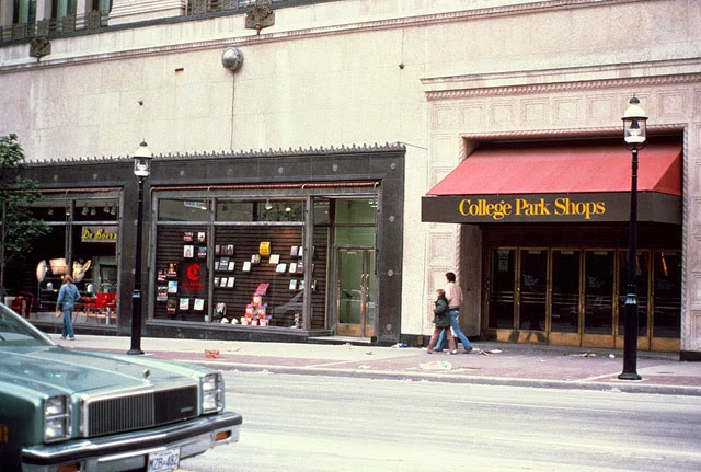
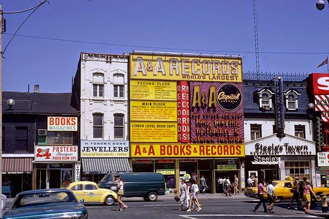
Another stretch of busy retail lines both sides of Yonge Street north of Dundas Street, including the Sam the Record Man flagship store until its closure on June 30, 2007. The density of businesses diminishes north of Gerrard Street; residential towers flank this section. The Art Deco College Park building, a former shopping complex of the T. Eaton Company, occupies most of the west side of Yonge Street from Gerrard Street north to College Street. It was converted into a residential and commercial complex after the building of the Eaton Centre.
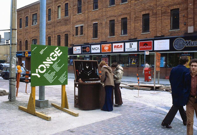
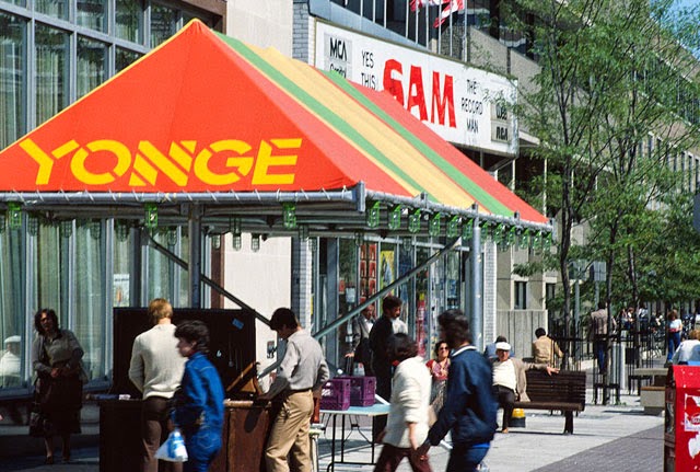
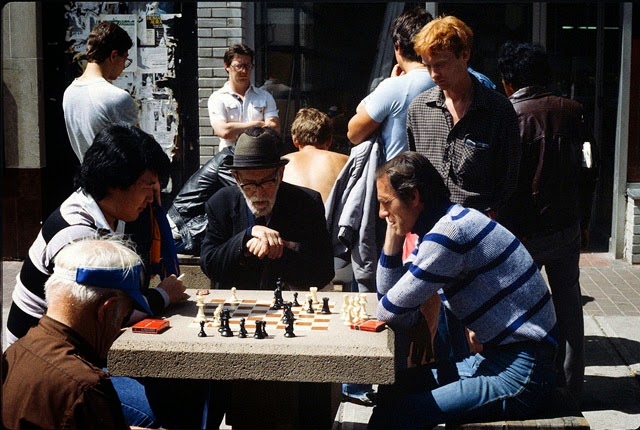
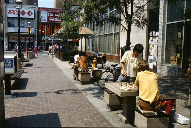
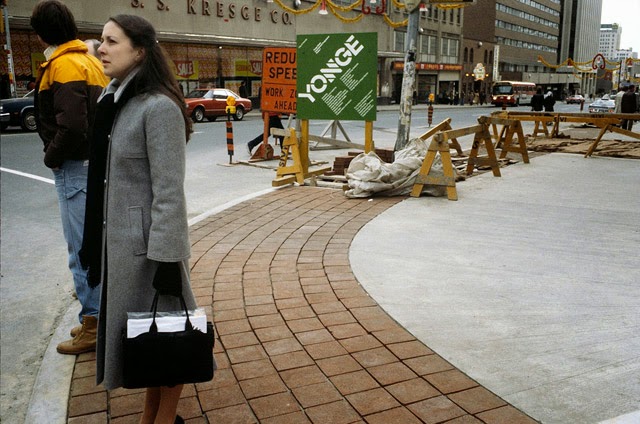
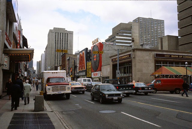
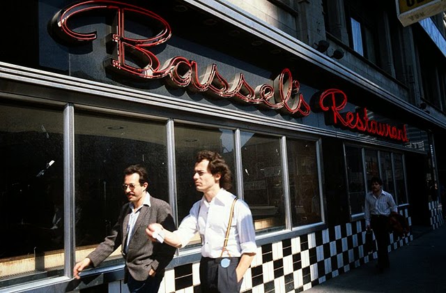
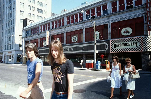
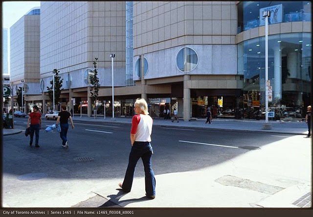
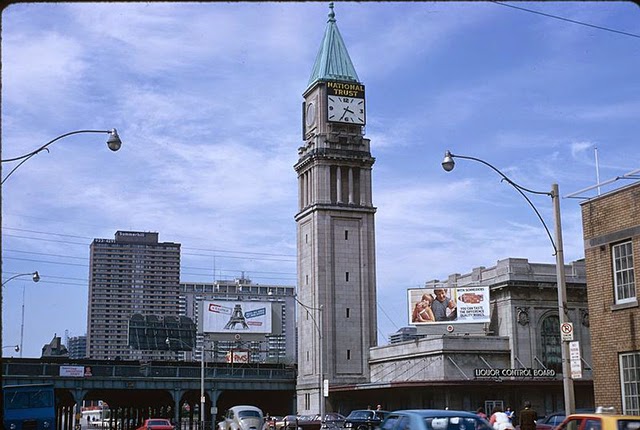
(Photos © City of Toronto Archives)