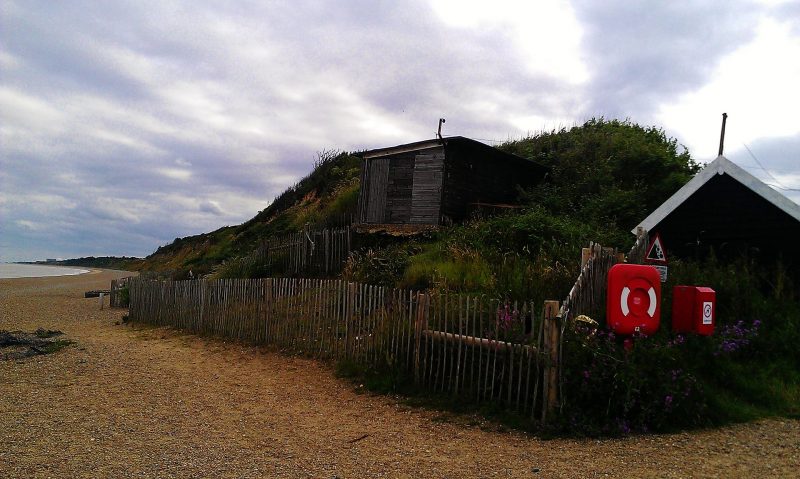
A new project that researchers are working on is bringing new light into just how bad some of Britain’s coastlines suffered during storms. This research comes nearly six centuries after the Suffolk village of Dunwich, was lost at sea.
Researchers took samples of sediment from the cliffs in the region; their research confirms that a series of powerful storms hit the location sometime between the 13th and 14th centuries. To add to that, weather events between 1286 and 1326 are believed to have destroyed the village’s entire harbor. Without the harbor, loss of food sources and trading opportunities caused the village to decline, both physically and economically.
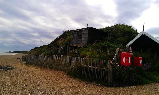
Present day Dunwich is a village about 14 miles south of Lowestoft in Suffolk. It once thrived because of its busy port. In fact, it was once similar in size to 14th century London until coastal erosion left the entire village 33 feet under water. The village still lies collapsed in its own ruins in the watery grave just off of the old coastline. Because of that, it has officially been called Britain’s Atlantis.
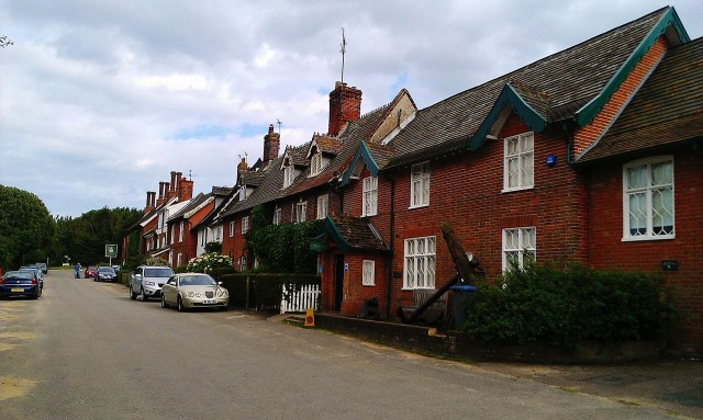
The project to survey the entire village began in 2008. In 2013, a team from the University of Southampton used 3D scanning to reveal the port of the town.
The project is being led by Professor David Sear, who is the author of the most accurate map of that town’s streets, boundaries, major buildings, and even the new ruins lying on the seabed. That same team of researchers has found evidence that the village was destroyed by violent storms.
The sediment from the cliffs confirmed the sequence of storms that have been recorded in historical records, Sear explained. He added that a pollen analysis revealed that the people had given up on Dunwich after 1338. During that year, yet another storm hit that area, which silted up the port, beyond repair. From then, the food supply declined.
The extreme storms had forced the coast to erode from flooding that began in 1286 when the first huge storm swept into the settlement and silted up the Dunwich River. That storm was then followed by a succession of others which resulted in the entire harbor being silted up. This literally “squeezed” the life out of the town, causing economic damage to this major international port of the 15th century.
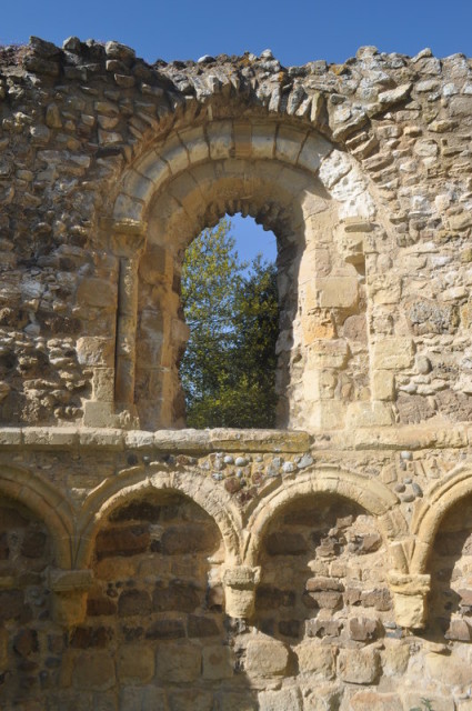
Global climate change has also made coasts erode, especially in the 21st century. People are seeing major issues like this and concern is growing. However, Dunwich demonstrates that climate change is not new. Sear explained that those major storms during the 13th and 14th centuries had coincided with periods of climate change, resulting in the warmer “medieval climatic optimum into what people now call the Little Ice Age.”
He also expressed that when the original scan was done, researchers realized just how relentless nature really is, especially on coastlines like Dunwich’s. It shows just how fast the coast can change even when it is protected by the people living on it.
Sear worked with several teams from different universities and groups, including GeoData Institute, the National Oceanography Centre, Southampton, Wessex Archaeology, and even local divers from North Sea Recovery and Learn Scuba. Sear’s group of archaeologists and researchers found six other ruins on that seabed as well. There were also 74 archaeological sites that were found on the seafloor since that project started in 2008.
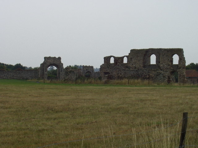
Thankfully, all of these archaeological teams are working together in order to combine all of their knowledge and findings they have made concerning the ruins and the village. They have put together old charts and navigation guides on the coasts and will continue to do so. They will also be able to work together to produce a detailed map of the street layout and position of the buildings, including the eight churches in the town.
Source: http://www.dailymail.co.uk/sciencetech/article-3458001/The-storms-devastated-Britain-s-Atlantis-Scientists-evidence-coastal-erosion-drowned-medieval-town-Dunwich.html
