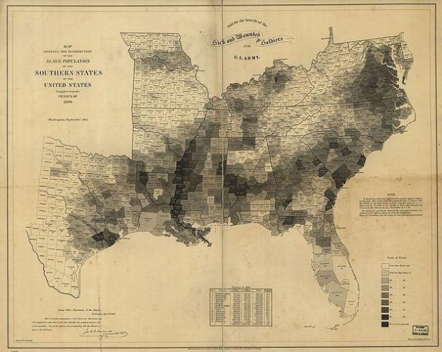
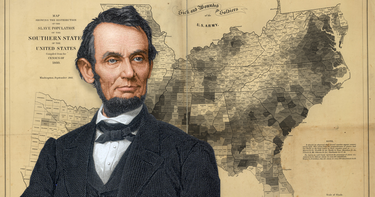
In 1861 the U.S. Coast Survey Map used census data and newly developed cartographic techniques to create a visual indication of how many slaves were being held in the South. It was divided by counties and indicated where higher numbers of slaves resided as well as areas that had few slaves. Abraham Lincoln used this map during his presidency for military strategy and to sort out how he would abolish slavery.
The map showed which counties had the highest and lowest concentrations of slaves, which Lincoln used to deduce which parts of the Confederacy might have the least commitment to the institution. Lincoln relied on this snapshot look at slavery in the South before the conflict broke out to decide how and the best way to propose abolition. The map pushed him to issue the famous Emancipation Proclamation, and it was a lightning rod for Union support of abolition during the dark fighting days ahead.

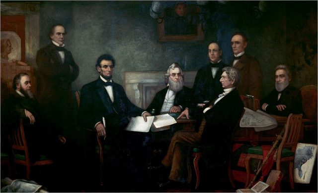
The map is featured in a painting of Lincoln and his cabinet painted by Francis Bicknell Carpenter of New York, First Reading of the Emancipation Proclamation of President Lincoln, which currently resides in the U.S. Capitol building. In the lower right hand corner of the artwork the map is shown propped up against the wall next to Attorney General Edward Bates.
Other members are featured left to right, Secretary of War Edwin M. Stanton; Secretary of the Treasury Salmon P. Chase; President Lincoln; Secretary of the Navy Gideon Welles; Secretary of the Interior Caleb B. Smith (standing); Secretary of State William H. Seward (seated) and Postmaster General Montgomery Blair. Carpenter also wrote a book about his time with Lincoln, Six Months at the White House with Abraham Lincoln published in 1866.

The Office of Coast Survey, the oldest U.S. Government scientific organization, is the official chart maker of the United States and was established by President Thomas Jefferson in 1807, according to historicalcharts.noaa.gov. The 1861 U.S. Coast Survey Map was created by cartographer Edwin Hergesheimer and printed by lithographer Henry S. Graham.
It was the first time trending cultural, political and social habits were studied in the United States to make a map that not only showed physical geography but human geography as well. It showed the vast numbers of slaves along the banks of the Mississippi outnumbering whites by almost ninety percent. It allowed Lincoln to carefully plan blockades and determine where the armies should be.

When Lincoln was elected President in 1860, his main task was to keep the country together as Southern states began to secede from the Union. They were aware of Lincoln’s distaste for slavery and felt that the Southern states would be best served by creating their own country, the Confederate States of America.
He proposed to allow slavery to exist where it already was but no new states should allow slavery. He also supported the plan to ship former slaves to a country on the West African coast for resettlement in the 1840s. The country of Liberia was created and eventually over twenty thousand people were residents of the new country. However, the mass exodus many expected never took place. In 1864, Lincoln wrote, “I am naturally anti-slavery, if slavery is not wrong, nothing is wrong.”
Related Article: Young Abraham Lincoln was a Champion Wrestler
After the battle of Antietam in 1862, in which both sides claimed victory, Lincoln took advantage of the Union’s turn of luck to present the Emancipation Proclamation. It proclaimed that the slaves in those states under the Confederacy would be made free but the proclamation could only be put into force if the Union won the war. It did, however allow over two hundred thousand Black men to join the Union Army.
